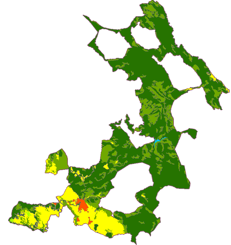
What is CORINE?
The pan-European Copernicus Land Service that has become the main spatial data source on land cover and land use for the European Environment Agency (EEA). As of June 2020, there have been five surveys over the last 30 years: 1990, 2000, 2006, 2012 and 2018. The same 44 classes grouped into 3 hierarchical levels have been used throughout the series, thus guaranteeing nomenclature consistency.
The basic technical specifications have also remained the same: a minimum width of linear elements of 100 m and a minimum mapping unit (MMU) of 25 hectares, thus yielding an equivalent scale of 1:250 000 for the so-called status layer. Changes in real land cover are also tracked between surveys to a MMU of 5 hectares.
Read more…

Cuenca Municipality (Spain)
Suffolk County (England)
